Categories
Raystown Lake, PA
$19.00
In stock
Raystown Lake, PA
Product Details
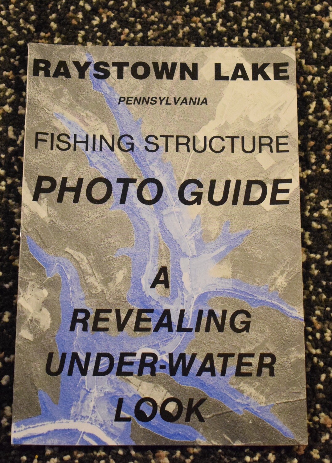
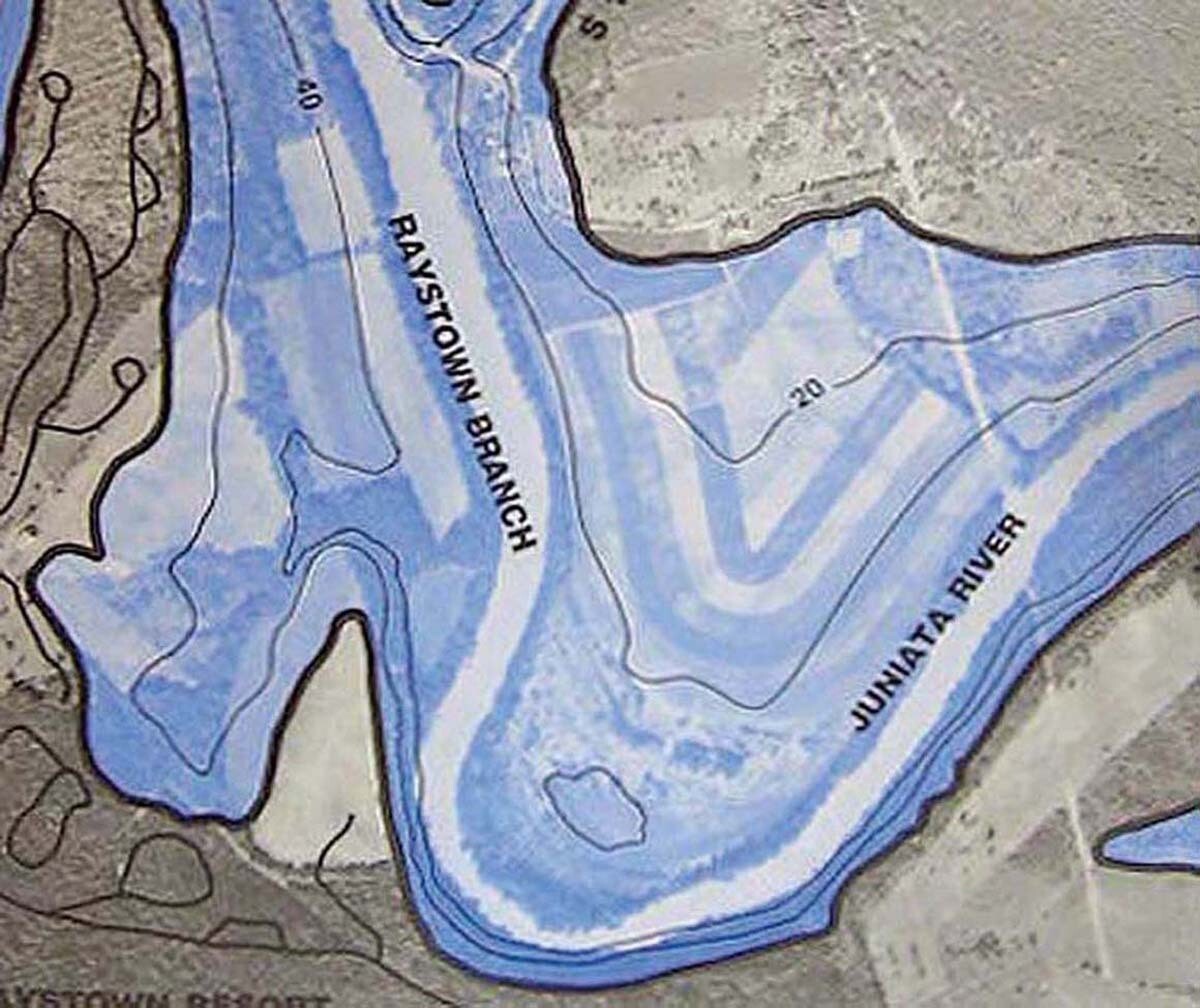
USDA aerial photos, prior to flooding, structure and contour map, Book format---size: 11" x 16 1/2" ---28 pages, numbered at bottom right, that correlate to the lake index map --- scale: 1" = 660' ---20' contour lines---dam constructed in 1968, pictures taken in 1953.

